Aim: How do we map the surface of the Earth?
Notes Given to Students: Guided Notes: Topographic Maps
Drawing Contours Practice: Drawing Contour Lines
Calculating Gradient Practice: Calculating Gradients
Topographic Maps
maps showing the relief features of the earth's
surface, usually by means of contour lines to show changes in elevation.
 | ||
The picture above is an example of a field map. In this example, the numbers on the map represent the concentration of gasoline found at that location. So the map simply shows how much of something (in this case gasoline) is found at many locations.
|


Contour Line -
a line joining points of equal elevation on a surface.


Close line =Steep Slope
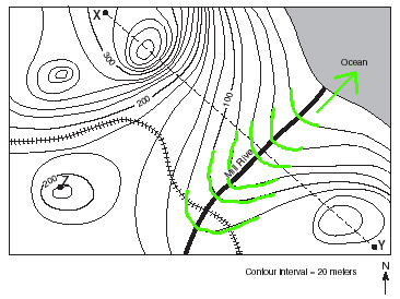
Contour lines bend upstream when crossing a river.
A contour interval is the
difference in elevation between two contour lines that are side by side.

Highest possible elevation of a hill

Depressions are shown by small marks pointing inward off the contour line.
Gradient

No comments:
Post a Comment